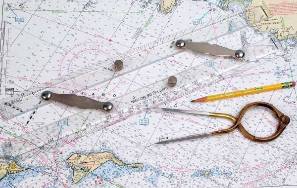
The Chesapeake Bay is 4,480 square miles of wonderful scenery, open cruising, small coves to explore and meandering tributaries that can take you miles and miles from your dock. A day trip with no particular destination can turn out to be an amazing adventure. But, an aimless cruise can also turn into a frustrating game of “hide and seek” for a TowBoatUS Captain in search of a single white boat somewhere on the Chesapeake Bay whose Captain has lost his bearings. Take a minute to learn how to be found now to save yourself some frustration later. Smart boaters should always be prepared with the proper navigation tools and know how to use them.
We receive inaccurate Lat/Longs every day from boat owners because they simply don’t know how to use their GPS. With so many makes and models of available chart plotters, we can’t talk you through the complicated menus over the phone. Set aside an hour to learn your equipment before you need to share your coordinates. If you don’t have electronics onboard, or your boat battery is dead, a cell phone that has location services enabled can be just as handy. BoatUS’ free cell phone towing app has your current coordinates listed right on the front page. Members and non-members can use the app 24/7 to call for a tow. The app not only places your call to a live BoatUS dispatcher but it also transmits your name, membership info, and current coordinates to the dispatcher as well.
Visit BoatUS.com/towing to find out more about this easy-to-use technology. If you are in an area with little cell coverage or still have an old-fashioned flip phone, then you need to revert to good old-fashioned boating skills. Whenever you are on the water practice “heads up” travel. Know the name of the body of water that you are navigating. Keep in mind the distance or time traveled, which local landmarks and navigation aids you have passed, if you turned port or starboard, and in which named cove you were lucky enough to spend your afternoon.
Having local details helps the dispatcher and the emergency responder find you more quickly. Practice judging distance on the water. Before the situation arises, practice estimating the distance to a nearby bridge, lighthouse or shoreline and then use your electronics to route a path to determine the actual distance. We receive calls for service almost every day where a boat owner has reported his distance from a landmark as under a mile. When we finally find them, they are three to four miles from their reported location because distance is incredibly hard to judge on the water.
As a TowBoatUS captain I spend hours each week searching for boaters that swear they “are the only boat out there” only to approach the scene to find a sea of white 20-something fishing boats which all look the same scattered across the horizon. When you provide an accurate description of your vessel – down to details like engine cover up, big fat guy in a dark blue shirt, or five people on board, – it makes the entire process go a bit smoother, we find you a bit faster and everyone is always a lot happier.